
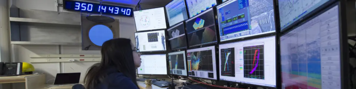
A series of aha! moments a decade ago in the field of weather forecasting resulting from advanced networks and access to large datasets provided the foundation for the innovations in climate research we see now.
The realization that predictive climate research could be transformed by networked compute and data resources led to a breathtaking variety of research institutes in California. Even the state’s geography is a bonus for research, as it is the primary national bullseye for the periodic Pacific Ocean warming event known as El Niño, which looks to herald a whole new “weather normal” by 2035, according to California weather experts.
The next step is to accelerate this transformation by coordinating the institutes themselves so that they can each act as force multipliers for one another and for atmospheric, ocean, and climate research as a whole.
That is the purpose of UC San Diego’s GAIA Initiative, founded by Scripps Institution of Oceanography (SIO) assistant professor and leading climate, atmospheric, and ocean researcher Duncan Watson-Parris. While GAIA will start with UC San Diego’s earth science institutes—including the SIO, the Halıcıoğlu Data Science Institute (and the National Data Platform), the Center for Western Weather and Water Extremes (CW3E), and the San Diego Supercomputer Center (SDSC)—Watson-Parris is interested in expanding its scope, where appropriate.
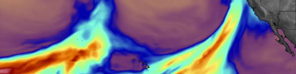
“There are tremendous untapped opportunities for understanding and prediction,” Watson-Parris said. “There’s also the educational aspect, making sure that students get training to develop and use the new AI-enabled tools being created daily and which are becoming even more important in managing the volume of data. These tools span across the whole research endeavor—even writing and reviewing proposals—and they show incredible promise to bring down barriers between data silos.
“It’s almost impossible to avoid hyper-specialization in earth sciences,” Watson-Parris added, “and the sheer amount of data can worsen this tendency. AI can really come into its own by finding commonalities across silos and helping us learn things from one another that we may not even be aware of.”
Fortunately, UC San Diego is a member of the Corporation for Education Network Initiatives in California (CENIC), which means that its researchers enjoy full access to the AI-focused resources of CENIC AIR as well as those of the National Research Platform. As the GAIA Initiative evolves, the intent is to grow through collaboration with industry, the public sector, and academic institutions committed to the stewardship of Earth’s systems.

In addition to atmospheric river prediction, mentioned in last week’s article, Watson-Parris also mentioned two other major challenges—climate “Erdős Problems,” as he put it—ripe for AI-enabled analysis: cloud evolution and climate emulation. “We have access to twenty years of high-res images of clouds, categorized into classes like cumulus, stratus, cirrus, nimbus, and so on,” he explained. “However, while these categories are useful pedagogically, clouds themselves are on a continuum. By leveraging deep learning, we can explore that space as a continuum instead and see how clouds evolve through it.”
AI-powered climate emulation allows for the analysis of decades of past climate-related data and the subsequent generation of plausible “might-have-been” data based on it. Combining this AI-generated data, created purely to resemble real data, with hypothetical data based on current understanding of underlying climate mechanisms can be a powerful way to improve that understanding.
“This hybrid approach could enable us to generate samples of weather in the year 2100,” Watson-Parris posited. “In other words, what might a realistic day of rainfall in a given area look like if CO2 reaches 500 parts per million?”
Such predictions could have a major impact on humanity as we adjust our lives and our infrastructure to a changing climate.
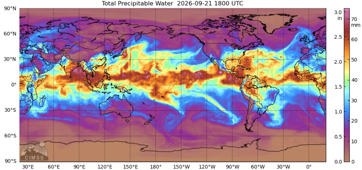
The director of research for CW3E, Luca Delle Monache, also sees the power of GAIA’s collaborative intent and is delighted to be a part of it.
“To really make a difference in the future with the implementation and development of these new predictive algorithms, we need to blend domain and computer science expertise,” he said.
Delle Monache also added yet another “killer app” to the list of research topics that show immense promise in the multi-institute environment of GAIA: Forecast-Informed Reservoir Operations (FIRO). “If we’re more clever in the way we use data,” he stated, “we can manage reservoirs much more efficiently. We can increase the water supply between 15 and 20%, and reduce the risk of flooding. It’s a very effective climate adaptation strategy.”
It’s also a badly needed one in a state like California, which is both thirsty for water and facing major challenges in water management.
The CW3E has already had success with FIRO in three California locations: Lake Mendocino, the Yuba and Feather watersheds, and the Prado Dam—with more to come as the program expands. The CW3E is also screening dams across the US operated by the US Army Corps of Engineers; roughly 600 dams are being evaluated to see where FIRO might be applicable.
And that is precisely the intended future of GAIA: to realize unforeseen breakthroughs where the disciplines touch in order to help California and the US manage in the face of weather events and a changing climate.
You can visit CENIC’s website to learn more about CENIC AIR as well as the websites for the National Research Platform, the National Data Platform, the GAIA Initiative, SIO, SDSC, and the CW3E. Professors Delle Monache and Watson-Parris are also pleased to serve as contacts for any interested earth scientists who wish to learn more about participating in GAIA or the CW3E.
UC San Diego’s GAIA Initiative Promises Transformation of Atmospheric and Climate Research
CENIC Members Doing the Impossible in Weather and Climate Forecasting with AI and Advanced Networks
Reimagining Supercomputing with the Distributed Bring-Your-Own-Resources Model
The CENIC AI Resource Powers Diverse Disciplines at CENIC Member Campuses
Celebrating Dr. Ben Izadi’s Leading Role in the CENIC and Cypress College Student Internship Program
Stay up to date on news and stories from the CENIC community.